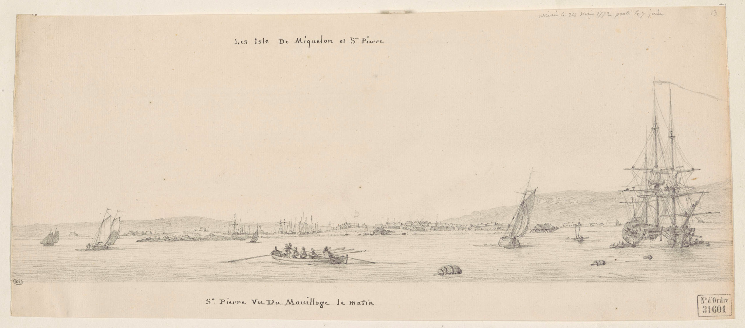
Avant la rétrocession de 1764, les Britanniques décidèrent de lever une carte détaillée des Iles Saint-Pierre et Miquelon. C’était, pour les Britanniques l’ultime chance de cartographier un territoire qui pourrait peut-être devenir hostile. C’est donc avec précipitation que les ordres furent donnés à James Cook et ses collaborateurs par le capitaine Graves, et aucun délai ne devait retarder la prise de possession par le futur gouverneur d’Angeac.
Parmi les noms d’origine anglaise, repris par Fortin notons:
- Gallantry Head : Teste de Galantry. Utilisation archaïque du mot anglais Gallantry qui signifie d’apparence magnifique ou splendide.
- Clives Head : Teste de Clives. Clives, forme dialectale de Clevis, – iron bent to the form of a U, two ends perforated to receive a pin. L’amiral du port de Saint-Pierre, William Cleeves.
- Cross Point : Pointe à la Croix
- Cape Barnacle : Cap Berniche
- Red Head : la Teste Rouge
- Little Harbour Head : Tête du Petit Havre
- Burial Point : Pointe du Cimetiere
- Pigeon Island : Isle aux Pigeons
- Cuttle Fish Point : Pointe aux Seches
D’autres noms d’origine anglaise seront rapidements abandonnés, parmi ces derniers les toponymes patronymiques :
- Windy Cove : Cap au Diable
- Anderson Point : cap immédiatement au sud de l’Anse à Trehouard
- Point Vincent : Cap à Gordon
- Primrose Point : Pointe à la Loutre
- Curlew Point : Pointe aux Soldats
- Musketa Point : Pointe aux Cheval
- Point Miquelong : Cap Blanc
- Cape Miquelon : Le Cap
- Point Langly : Pointe à la Gazelle
- Woody Cove : Trou au Renard
- Cape Langly : Cap Coupé
- Cape Bay : Anse du Sud Ouest
Saint-Pierre et dépendances
- Island of Columbo : Grand Colombier
- Little Columbo : Petit Colombier
- Cross Pt : Anse à Henry
- Clives head : Cap Blanc
- Cape Eagle : Cap à l’Aigle
- Burial place Pt : Pointe aux Canons
- Harbour : Barachois
- Musele Bank : Ile aux Moules
- Road Island : Ile au Massacre
- Isle Dogs : Ile aux Chiens
- Rasberry Cove : Anse à Trehouard
- Anderson Point : cap immédiatement au sud de l’Anse à Trehouard
- Point Vincent : Cap à Gordon
- Pigeon Island : Ile aux Pigeons
- Boar Island : Ile aux Vainqueurs
- Corneal Rocks : les Canailles
- Sleep Rocks : Rocher Plat
- Great Black Rock : Ilot Noir
- Little Black Rock : l’Enfant Perdu
- S. E. Point : la Pointe
- Gallantry Cove : Anse à l’Allumette, Anse à Philibert
- Cronier Point : Cap Noir
- Gallantry Head : Tête de Galantry
- Little Harbour : Petit Havre
- Little Harbour Head : Pointe Blanche
- S. W. Cove : Anse à Ravenel
- Red Head : Pointe aux Basques
- Cape Barnacle : Pointe du Diamant
- Barnacle Pond : Etang de Savoyard
- Cuttle Fish Point : Pointe de Savoyard
- Windy Cape : Cap au Diable
- Gull Pond : Etang Goéland
Langlade
- Langley Gut : Passe de la dune
- Langley House : maison sur l’Isthme de Langlade
- Seal Cove : Anse du Gouvernement
- Deadmans Cove : Anse aux Soldats
- Percee Point : Cap Percé
- Percee Island : Rocher de l’Hôpital
- Percee Cove : Anse à Ross
- Point Langly : Pointe à la Gazelle, Cap à Ross
- Woody Cove : Trou au Renard
- Cape Langly : Cap Coupé
- Cape Bay : Anse du Sud Ouest
Miquelon
- Primrose Point : Pointe à la Loutre
- Curlew Point : Pointe aux Soldats
- Musketa Point : Pointe aux Cheval
- Point Miquelong : Cap Blanc
- Cape Miquelon : Le Cap
- Road of Miquelong : Anse de Miquelon
- Point Chapeau : Pointe du Chapeau
- Shappo : le Chapeau
- Green Point : Pointe aux Alouettes
- Miquelong Rocks : Rochers de l’Est
- Dunn Harbour : Grand Barachois

Hello Marc. Are you familiar with the chart that James Cook drew of St. Pierre Harbour? I don’t mean the chart of St. Pierre and Miquelon; I mean a chart that described only the harbour of St. Pierre itself, and only went out as far as Pigeon Island, Boar Island and the Isle of Dogs (I’m using his nomenclature; I know that these islands now bear French names). The original is at the Archive of the United Kingdom Hydrographic Office in Taunton, UK; it is catalogued there as A701/14. I was there last week and took some pictures of this chart and a number of others. I can send you my pictures if you wish. Send me your current email and I’ll send you what I have. Incidentally, 1763 is the correct year that Cook surveyed St. Pierre, not 1764 as you have here.
best wishes, Olaf Janzen (Grenfell Campus, MUN)
Hello Olaf, it’s been a while ! Great to hear from you. I believe I saw James Cook’s early maps of the St Pierre Harbour that were used for subsequent maps, I did have some print-outs made after my 1997 trip to the Public Records Office in London but probably don’t have a digitized copy. Please do send it if you can at [removed to avoid spam]
Many thanks and hope all is well with you
– Marc